The history of the land that became Orleans did not begin with the incorporation of the town in 1797. Nor did it begin in 1644, when the first English colonists arrived from Plymouth Colony to settle here. Archaeologists have estimated that Native American peoples inhabited the land for a period of 10,000-12,000 years before a sail from a European ship was ever spotted off these shores, beginning in the 15th and 16th centuries.
The land that became Orleans was a part of the larger area at the elbow of Cape Cod that was known as Nauset. The towns of Orleans, Eastham, Wellfleet, and parts of others now stand here. Upon the arrival of European explorers, this area was inhabited primarily by the Nauset tribe, a part of the Wampanoag Confederation that flourished in what is now southeastern Massachusetts and parts of Rhode Island. The Nausets, like other native tribes, did not have a written language and thus did not leave a written record of their lives, history, and experiences. However, through the passing of oral histories, discoveries of archaeologists, and contemporary observations of explorers, visitors, and colonists, we can appreciate the vibrancy and complexity of the Nauset civilization as well as the impact of colonization as they saw it.
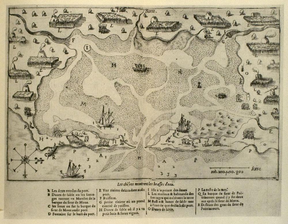
The earliest recorded observation of the Indian culture at Nauset was made by the famous French explorer and cartographer Samuel de Champlain. The French had been exploring the New England coast considering establishing one or more settlements. On July 20, 1605, Champlain, in a two-masted barque under the command of the sieur de Mons, sailed into what was later called Nauset Harbor, calling it “Port de Mallebare” (bad bar). The name was in consideration of “the shoals and sandbanks, where we saw breakers on every side.” From the illustrated map that Champlain made, and from his writings, we get his impressions of the Indian civilization that had been evolving for centuries at Nauset.
Some notes from Champlain’s journal:
“After we entered, we found the place was very spacious, being perhaps three or four leagues in circuit, entirely surrounded by little houses, around each one of which there was as much land as the occupant needed for his support. We entered a field planted with Indian corn in the manner before described. The corn was in flower, and five and a half feet high. There was some less advanced, which they plant later. We saw many Brazilian beans, and many squashes of various sizes, very good for eating; some tobacco, and roots which they cultivate, the latter having the taste of artichoke. There were also several fields entirely uncultivated, the land being allowed to remain fallow. When they wish to plant it, they set fire to the weeds, and then work it over with their wooden spades. Their cabins are round, and covered with heavy thatch made of reeds. In the roof there is an opening of about a foot and a half, where the smoke from the fire passes out.” 1
He also described their clothing: woven from grass, hemp, and animal skins, and one of their fishing methods, a conical weir constructed of saplings and grass rope designed to capture fish. There were about 150 Nausets living around the estuary at the time, on land that was later to become Orleans and Eastham.
We are indebted to Champlain for his detailed description of a civilization that was far more advanced than some of the myths and legends that have come down to us over the years. We are also indebted to Champlain for the illustrated map of the estuary that he left, providing us with the first renderings of historic houses in Orleans.
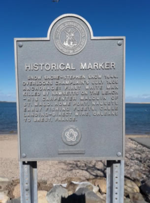
Ultimately, the French decided not to settle in the Cape Cod area. If they had chosen differently, Orleans would not be the only town on the Cape with a French name. Champlain’s visit was commemorated in 1976 by the Orleans Bicentennial Commission with a historical marker located at Snow’s Shore.